In addition to on-site ground-based measurements, remote sensing data - collected either by satellite, aircraft or drone - are playing an increasingly important role in order to cover larger areas and entire glacier systems.
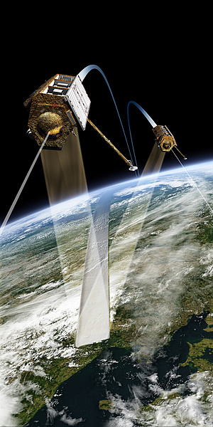
Remote sensing data provide, for example, information on the surface geometry of glaciers and ice dynamics, as well as information on their changes by comparing data from different dates. Both optical and radar data are used. Satellite gravimetry, a new and extremely successful space measurement technique, enables among other things the determination of temporal variations in the Earth's gravity with almost globally homogeneous resolution and accuracy. This can be used to draw conclusions on the mass transport in the Earth system, such as the melting of glaciers and associated mass loss. On a regional scale, this completely independent measuring method can be used to validate and supplement the common methods of mass balance determination. The Earth sciences programme of the European Space Agency ESA "The Changing Earth" provides a programmatic framework for research into the cryosphere from space (ESA-SP1304, 2006).